Who it helps
Individuals
Researchers
Scientists
Educators
Communities
What it does
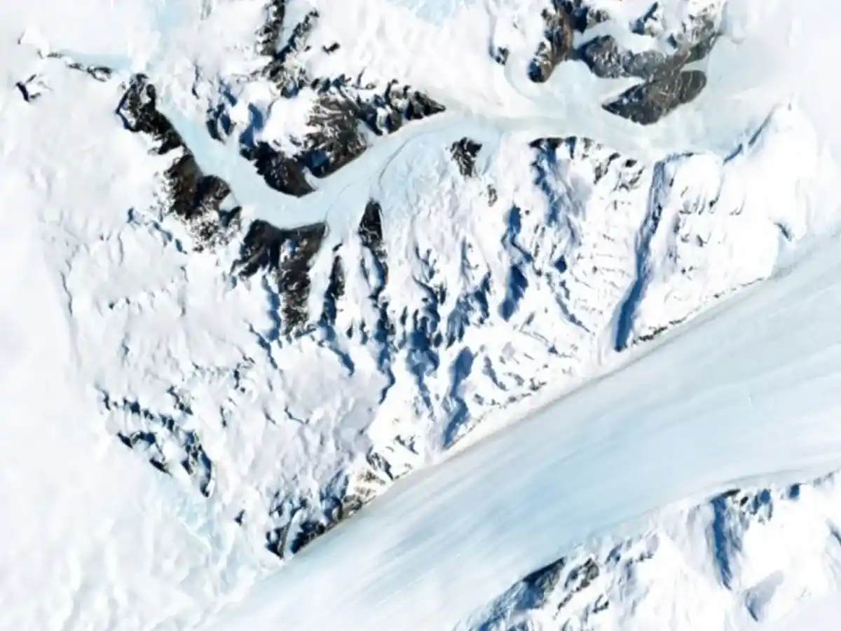
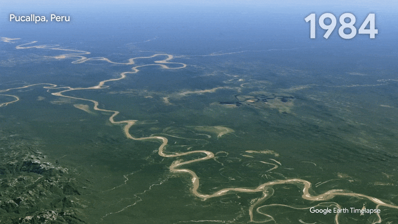
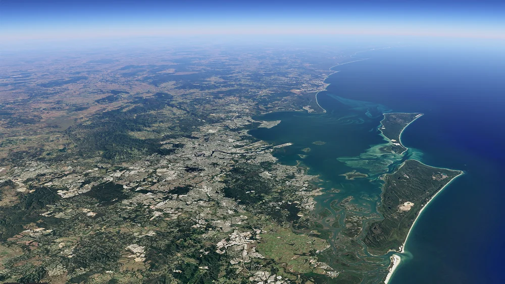
Shows nearly four decades of planetary change via compiling 24 million satellite photos from 1984 to today into an interactive 4D experience
In collaboration with
NASA
The United States Geological Survey’s Landsat program
The European Union’s Copernicus program
Carnegie Mellon University's CREATE Lab
How it’s used
See the planet change with new imagery in Google Earth Timelapse